SAVeNoW - A digital twin of Ingolstadt for safe and sustainable mobility
Project Description
At SAVeNoW, I am researching and operationalizing the construction of a digital twin of the city of Ingolstadt, BY, DE using ArcGIS CityEngine, FME and Unity3D, in which relevant static elements (streets, buildings, traffic infrastructure, traffic rules), dynamic elements (road users) and framework conditions (time of day, weather) are mapped.
With the help of this digital twin, questions in the domains of traffic efficiency, traffic safety, traffic ecology and social acceptance are analyzed and answered by solution scenarios with associated measures.
Keywords:
Digital Twin, Driving Simulation, Automated Driving
Funding:
Federal Ministry of Transport and Digital Infrastructure (Bundesministerium für Digitales und Verkehr)
3D Mapping and Modelling
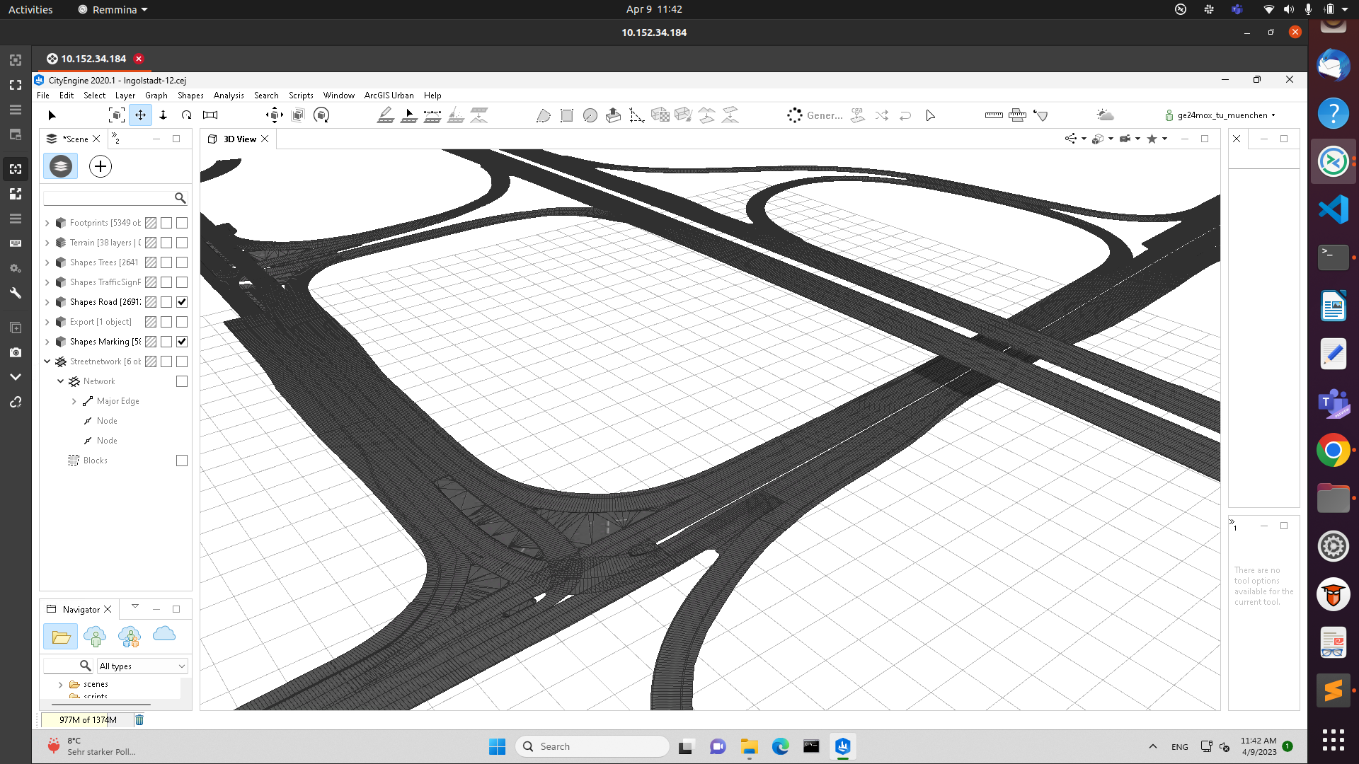
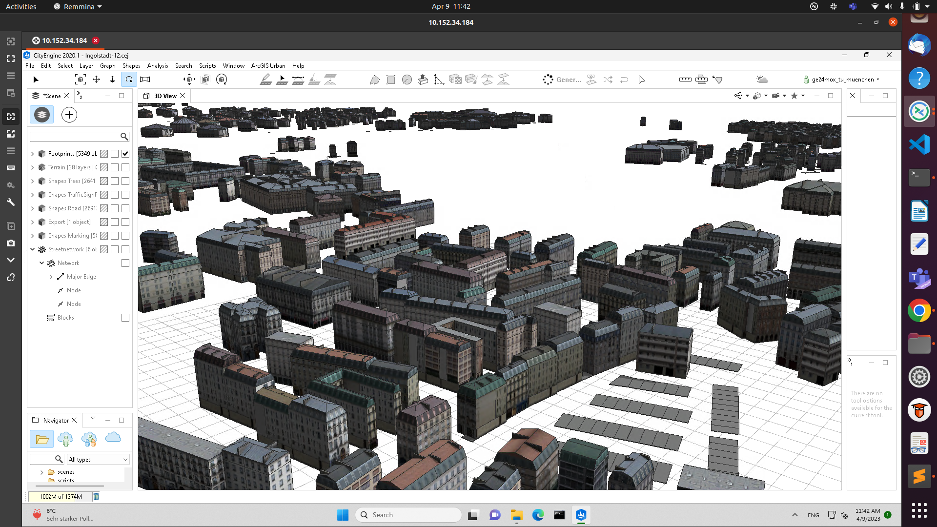
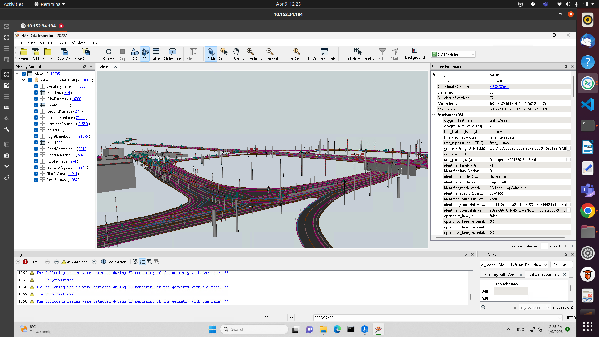
Using High-precision traffic area recording with adapted measurement technology from Ingolstadt, we first created HD maps of the area in and around Ingolstadt based on OpenDRIVE. Using these maps, we then 3D modelled a section of the city of Ingolstadt spanning an area of roughly 30 sq. kms. on ArcGIS CityEngine.


Exporting to Unity using Blender
The constructed models were exported as .FBX files using Blender and imported into Unity. Within Unity, we used proprietery packages provided by the driving simulator vendor Cruden to further define the high definition render pipeline. We used a connector to connect our environment to SUMO - Simulation of Urban Mobility to simulate traditional and lane-free traffic and pedestrians.